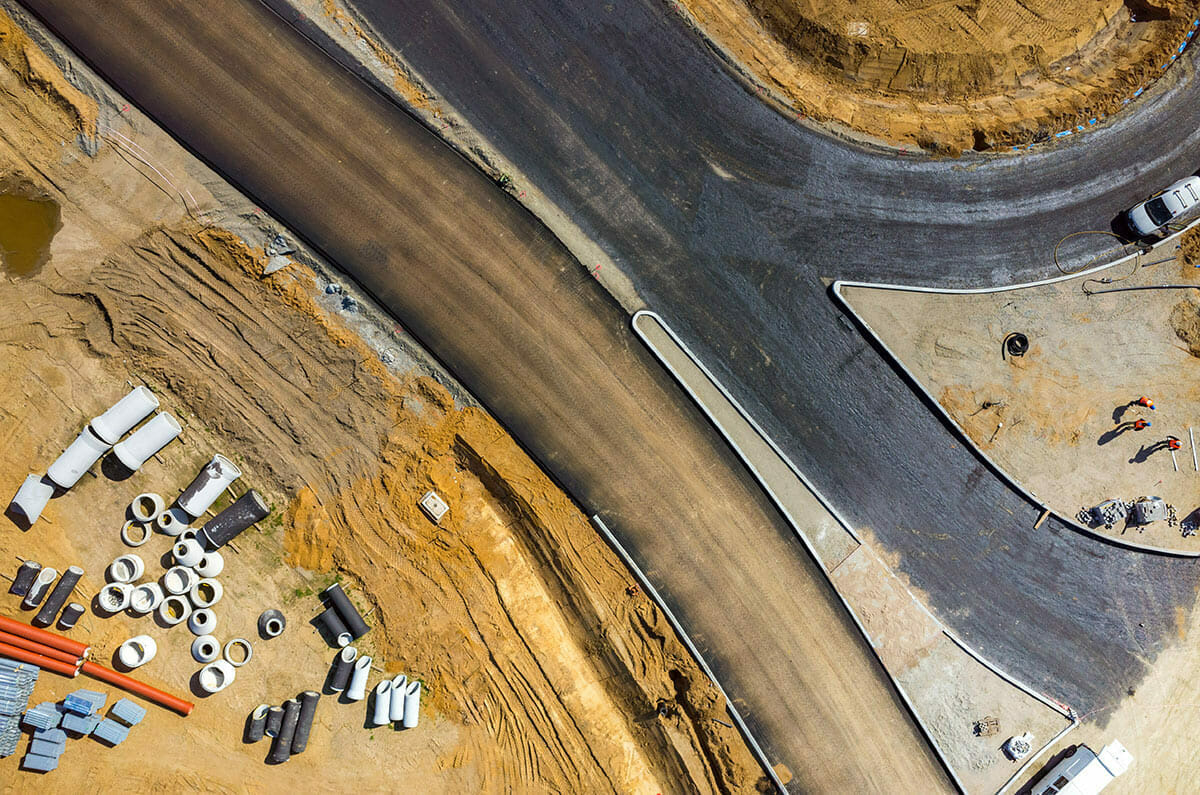
Road Construction
Highway Construction
Highway surveying is a specialized type of land surveying, much different than mining or lease roads; there are standards and specifications that need to be followed. At Kalwest Surveys we understand and take pride in our knowledge of all aspects of highway construction, whether it is from the consultant’s side or the contractor’s side of the project. From the preliminary survey, layout, data pickup, as-builts, and quantities to finals, we know and understand the importance to all these stages of construction.
At Kalwest Surveys we know it is not only the accuracy of the survey that’s important but also the understanding of what you are surveying. We need to verify in the field that the information provided to us for layout, is exactly what the designers had intended.
Urban Road Construction
Much like Highway construction, these roads have standards and specifications that need to be followed. Roads with curb and gutter create a different level of survey and possible complications, from the abundance of utilities, curb drainage and tying into manholes, at Western Drone and Survey we know the diligence needed for these types of projects.
Lease roads / Mining / Forestry / Oil and Gas
These types of road may not require the same level of standards and specifications of highways and urban roads, but at the same time knowledge and expertise, the mentioned roads only help us in our ability to provide the best product for our clients. Whether it is stakeout, or field fit we have the knowledge and experience to help build any type of road/drainage need by our clients.
Subdivisions
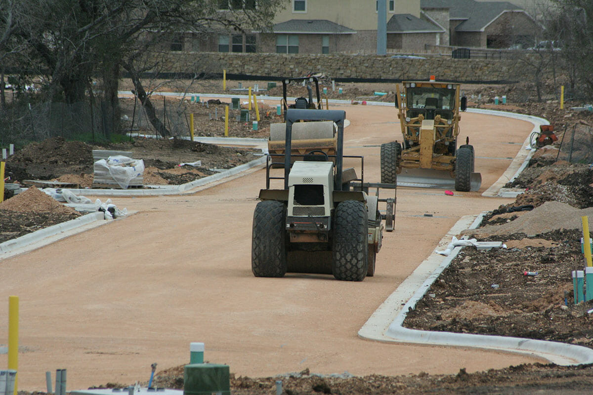
As surveyor for a new subdivision, the surveyor role is to deliver and layout the design that was intended by the designing engineer, as well as working with the project manager and contractor to solve any complications that arise. Being able to spot issues early in construction, will save every group involved time and money. From curb and gutter, sidewalks, final lot grades, fences, utilities, drainage and more. At Kalwest Surveys we will deliver what is expected from our clients.
Mining
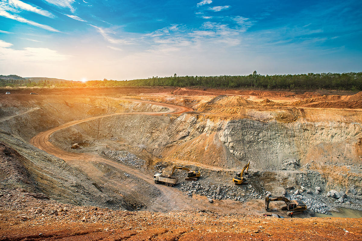
Mining is a large and complex operation which needs to be a safe, quick and reliable survey. Working with engineers, managers, and operators in supporting mine and plant infrastructure survey is key to success.
- Mineral exploration and layout borehole
- Survey control points
- Open pit quarry and mining operations surveys
- Tailings and waste dump surveys, volumes and stability monitoring
- Layout of drill patterns
- Stockpile volumes
- Burm construction
- Haul road construction – either off design or field fit
- Drainage control
Oil & Gas Surveying
Well Locations/Lease Plats
Surveys to determine the location of proposed wells based on client information and requirements.
Pipeline Staking
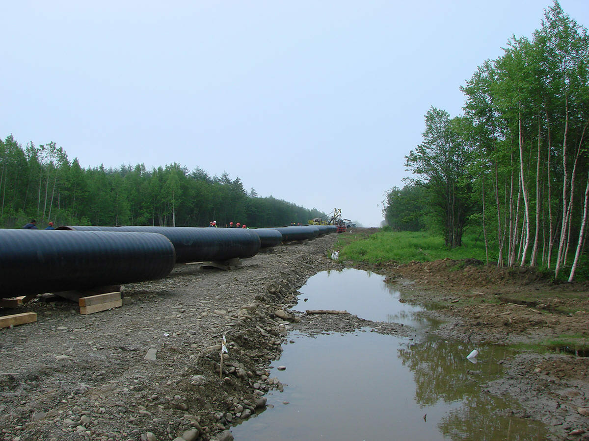
Pipeline staking is unique to other types of construction surveying. We can work with your company’s Right of Way Agents to lay-out pipelines across multiple tracts of land and prepare descriptions for inclusion in easement documents.
UAV Surveying
UAV Surveying can be used for preliminary purposes, to provide an accurate and detailed 3D map or model of any size to help out clients make the best and most efficient decisions in determining the locations of wells or pipelines.
Topographic Survey
As-Built Surveys
As-built surveys are for recently completed commercial construction projects for records, completion evaluation, and payment purposes. These surveys are completed to obtain horizontal and or vertical dimensional data so that a constructed facility may be delineated, i.e., foundation survey, or as-built of improvements. As-built surveys are used to physically locate structures and improvements on land and are generally for mortgage purposes.
Topographic / Preliminary Surveys
A Topographic or a Preliminary survey is a detailed and accurate graphic representation of natural and man-made features on the ground such as buildings, fences, valleys, hills, streams, ponds, lakes, roads, etc. These surveys can be performed by field methods and or by aerial photography methods. When conducting these surveys Western Drone and Survey collects the data, using the Alberta Transportation coding system.

Aerial Data Collection – UAV Surveying
Using photogrammetry at near 1cm / pixel resolution, our drone surveying delivers an accurate and detailed survey regardless of the task. Turn-around time can be as short as a few hours, or as long as a couple of days, depending on the project at hand. These projects could be a pipeline inspection, mining volume calculation, or mapping for forestry; our team can quickly and safely provide a UAV survey at a fraction of the cost for previously used methods.
3D model-based stitching (Photogrammetry)
We use the most cutting-edge techniques available for creating our maps. Combining multiple photos at an area as an aircraft flies over allows us to create a 3D model from which we can derive stunningly accurate orthophoto maps. This data can be used to create hundreds of thousands of points, that can be transferable to other software.
Applications
- Mining
- Construction
- Oil & Gas
- Agriculture & Forestry
- Infrastructure & Utilities
